Hurricane Irma: Which areas are at risk?
Hurricane Irma: Which areas are at risk?
 GETTY IMAGES
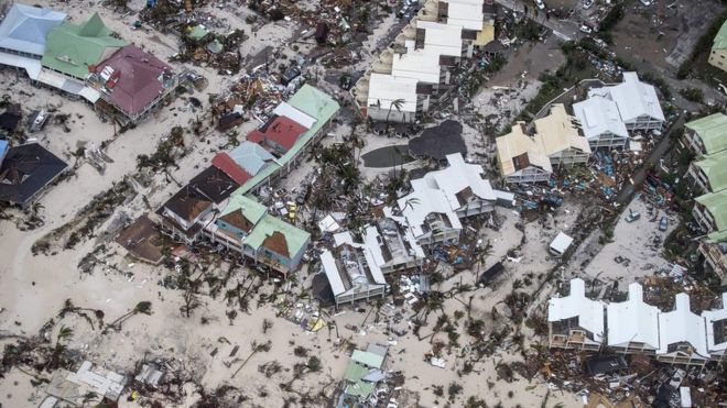
Hurricane warnings have been issued for several islands feared to be at risk, with the US state of Florida also declaring a state of emergency as relief efforts are put in place ahead of possible landfall on Sunday.
But with residential areas left "barely habitable" in the regions already struck, which areas are likely to be the worst affected by Hurricane Irma in the coming days?
- How dangerous is Irma?
- 'It was like a horror movie'
- How does it compare to other category five storms?
- Hurricane Irma: A visual guide

- Population: 10.2 million
- Key facts: major tourist destination, shares island of Hispaniola with Haiti
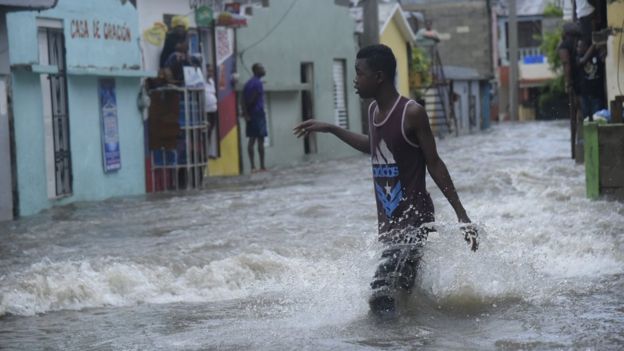
- Hurricane report: thousands of people were evacuated with Irma predicted to pass close by; the storm was skirting the north of the region on Thursday; previous forecasts suggested that the mountainous area could help to stifle the storm's winds, causing them to reduce slightly. Damage still to be fully assessed
 EPA
EPA
Haiti
- Population: 10.2 million
- Key facts: on the same island as the Dominican Republic; devastated by an earthquake in 2010; it was hit by a less powerful storm in 2016, Hurricane Matthew, killing more than 500 people
- Hurricane prediction: not directly in the hurricane's path, but remains on alert with warnings of increased winds and possible flooding
 GETTY IMAGES
- Population: 31,500
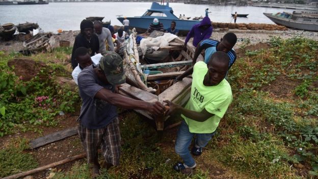
- Key facts: enjoys one of the more dynamic economies in the region thanks to upmarket tourism, offshore finance and fishing; the region was placed under a tropical storm watch in September 2010 but escaped devastation as Hurricane Earl, a category four storm, passed to the east
- Hurricane prediction: the low-lying region is at risk of a storm surge with destructive waves up to 6m (20ft) higher than usual possible
- Population: 11 million
- Key facts: one of the world's last planned economies; a producer of sugar, tobacco and coffee, with a big tourist industry; the region was battered by 175km/h winds in 2012 when it was struck by Hurricane Sandy
- Hurricane prediction: tropical storm conditions expected to begin on Thursday night (local time)
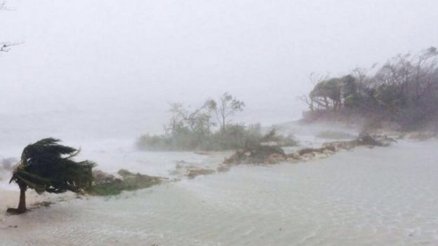
- Population: 350,000
- Key facts: an archipelago of more than 700 islands and islets, which attracts millions of tourists per year; like Haiti, the area was hit by violent winds and heavy rainfall as Hurricane Matthew arrived in 2016
- Hurricane prediction: warnings for north-west, south-east and centre; some areas have risk of storm surge of up to 6m (20ft)
 GETTY IMAGES
Florida
- Population: 21 million
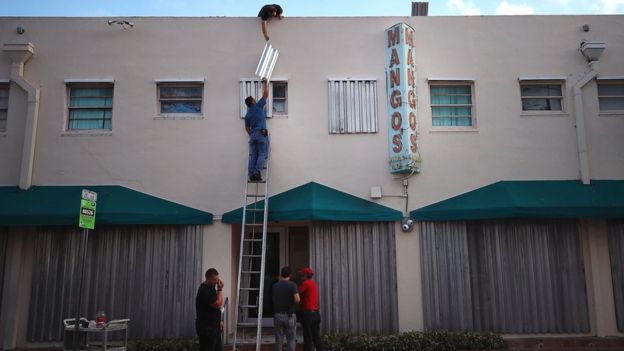
- Key facts: extremely popular tourist destination; surpassed New York to become the third most populous US state in 2014; Miami, the state's economic and commercial capital, has strong links to Latin America; in 1999, Hurricane Floyd caused the evacuation of hundreds of thousands of people in the state but the storm narrowly missed Florida and came ashore in North Carolina
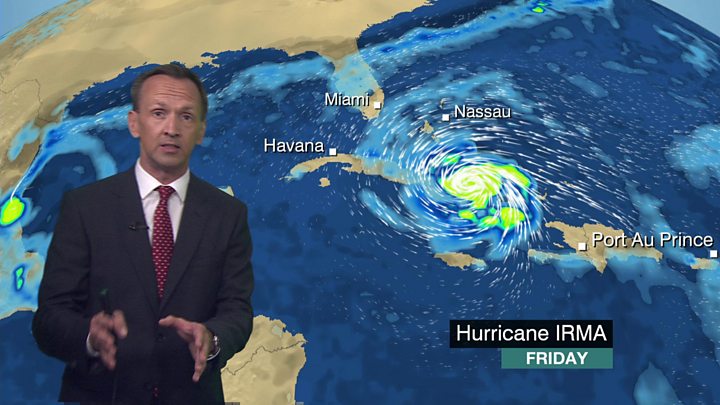
- Hurricane prediction: warnings that Irma could make landfall in the state on Sunday; forecasters warn of strong winds and heavy rain; evacuations of tourists and residents of Florida Keys began on Thursday
 GETTY IMAGES
Georgia
- Population: 10.3 million
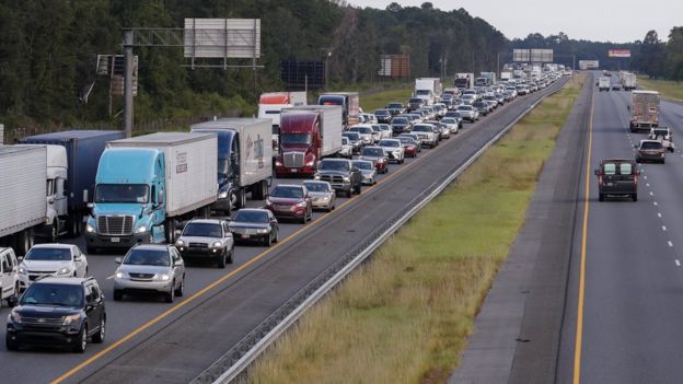
- Key facts: the south-eastern US state is the largest state east of the Mississippi River; it boasts 160km (100 miles) of coastline and its economy benefits from an abundance of farmland - it produces about 40% of the nation's peanuts and is one of the largest suppliers of peaches; in 2016, three people died after a state of emergency was declared in Georgia due to the arrival of Hurricane Matthew
- Hurricane prediction: like Florida, Georgia is forecast to be in the line of the storm and is preparing for strong winds and possible flooding this weekend. The governor of Georgia has issued a mandatory evacuation order for the city of Savannah and other coastal areas
 EPA
EPA
Post a Comment